Limitless Possibilities

Our Services

Crewed - Uncrewed

Why choose drone footage?

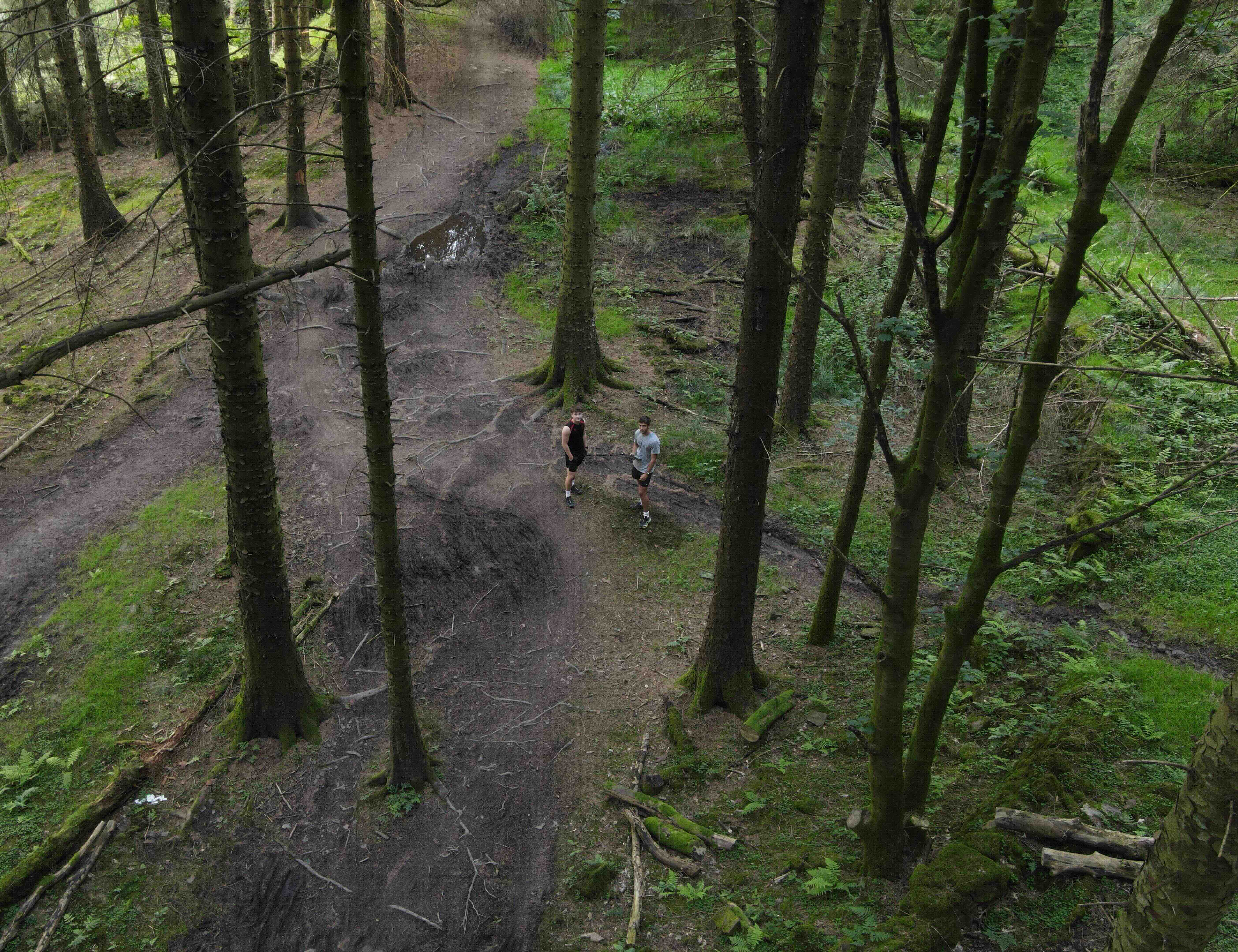
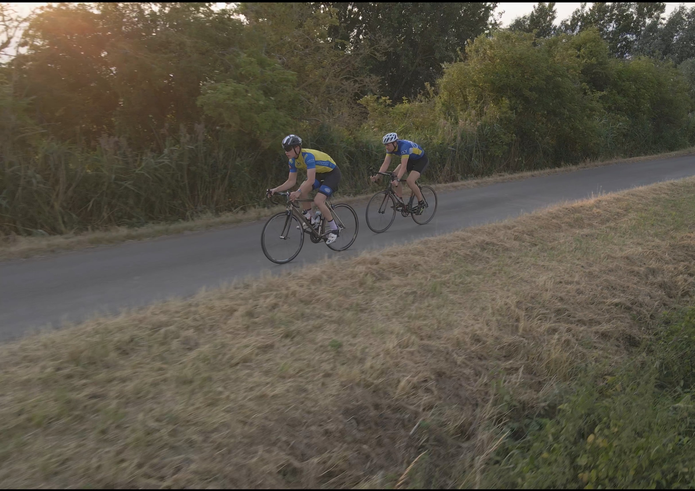
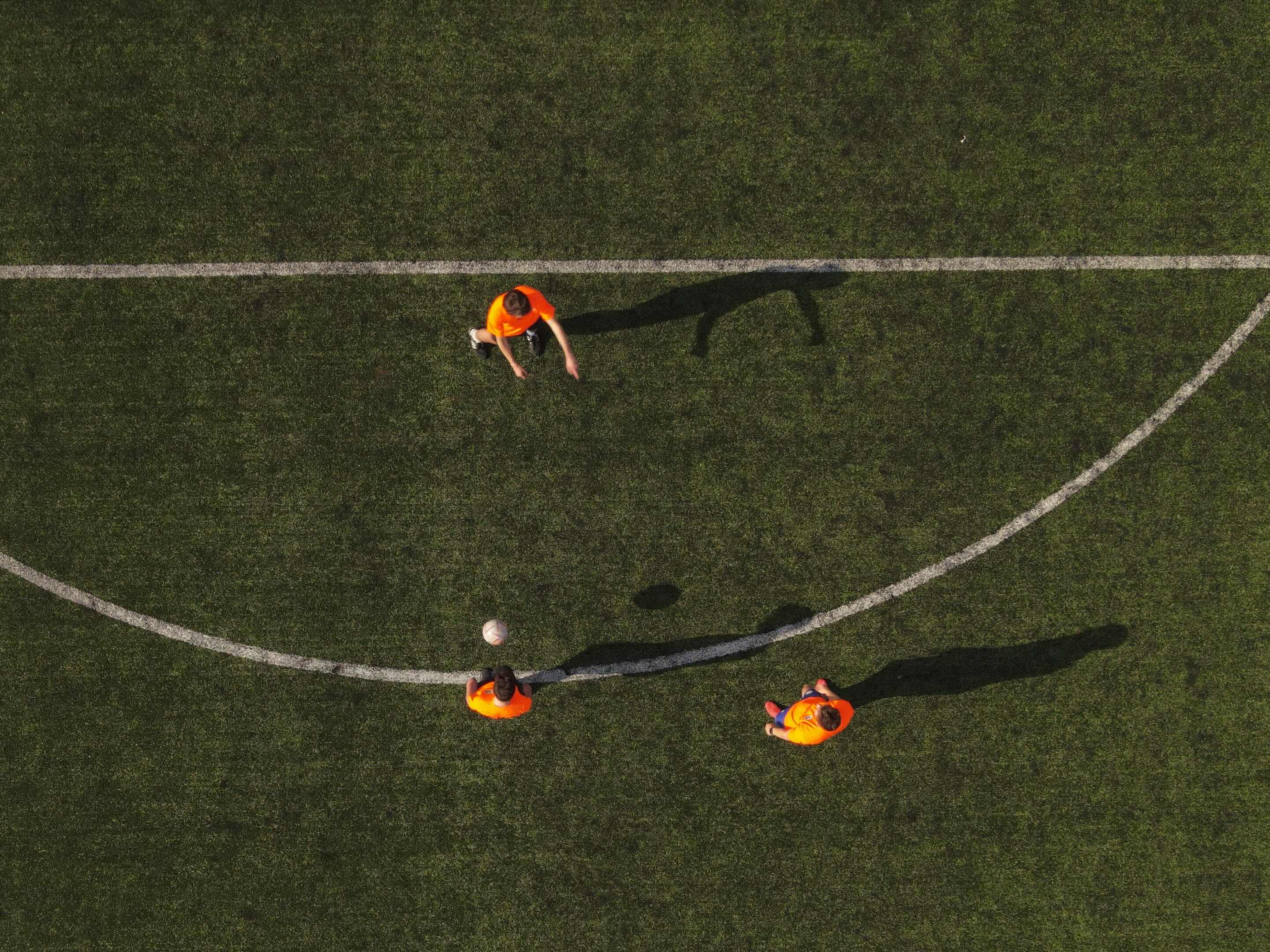
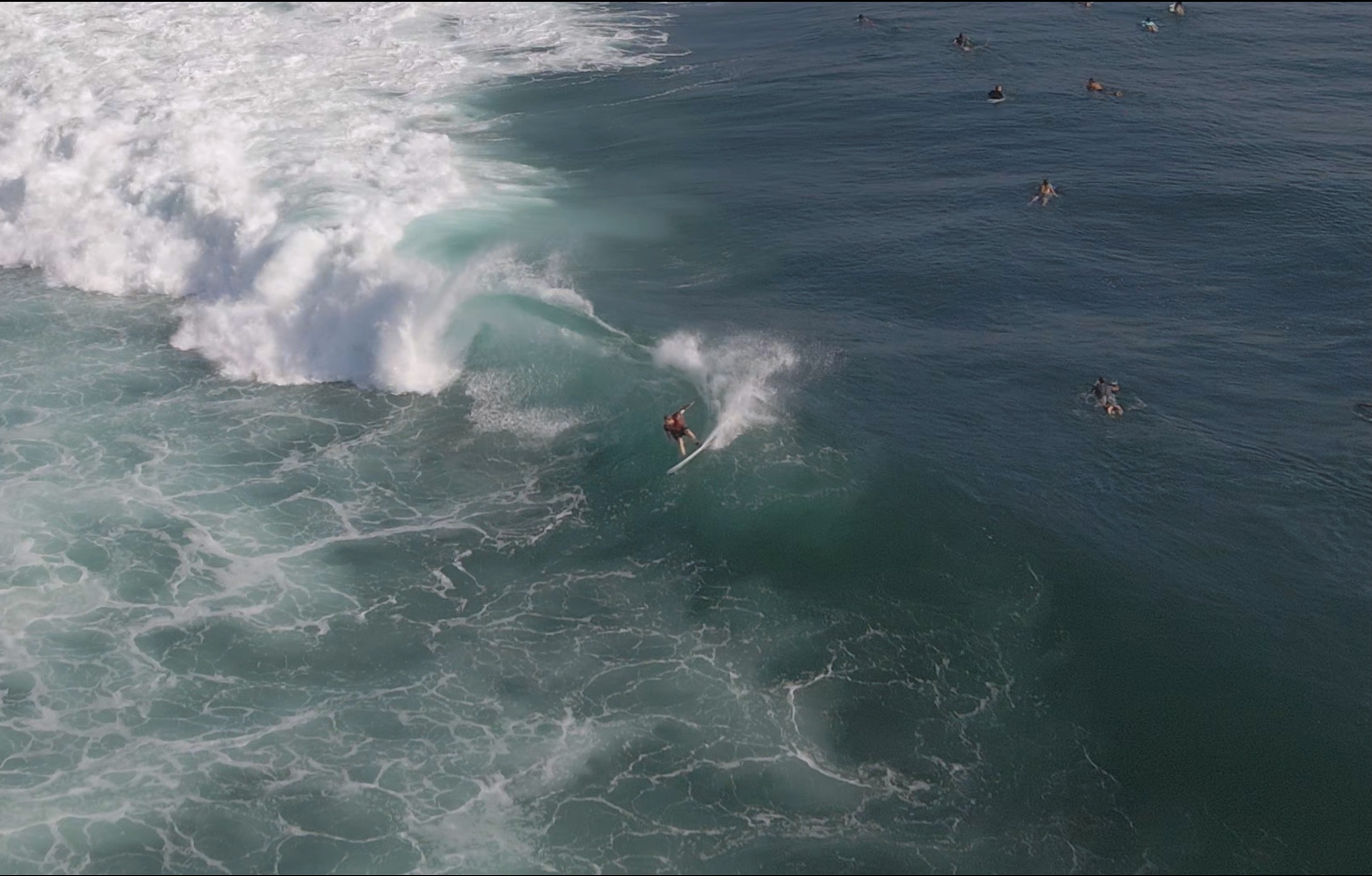
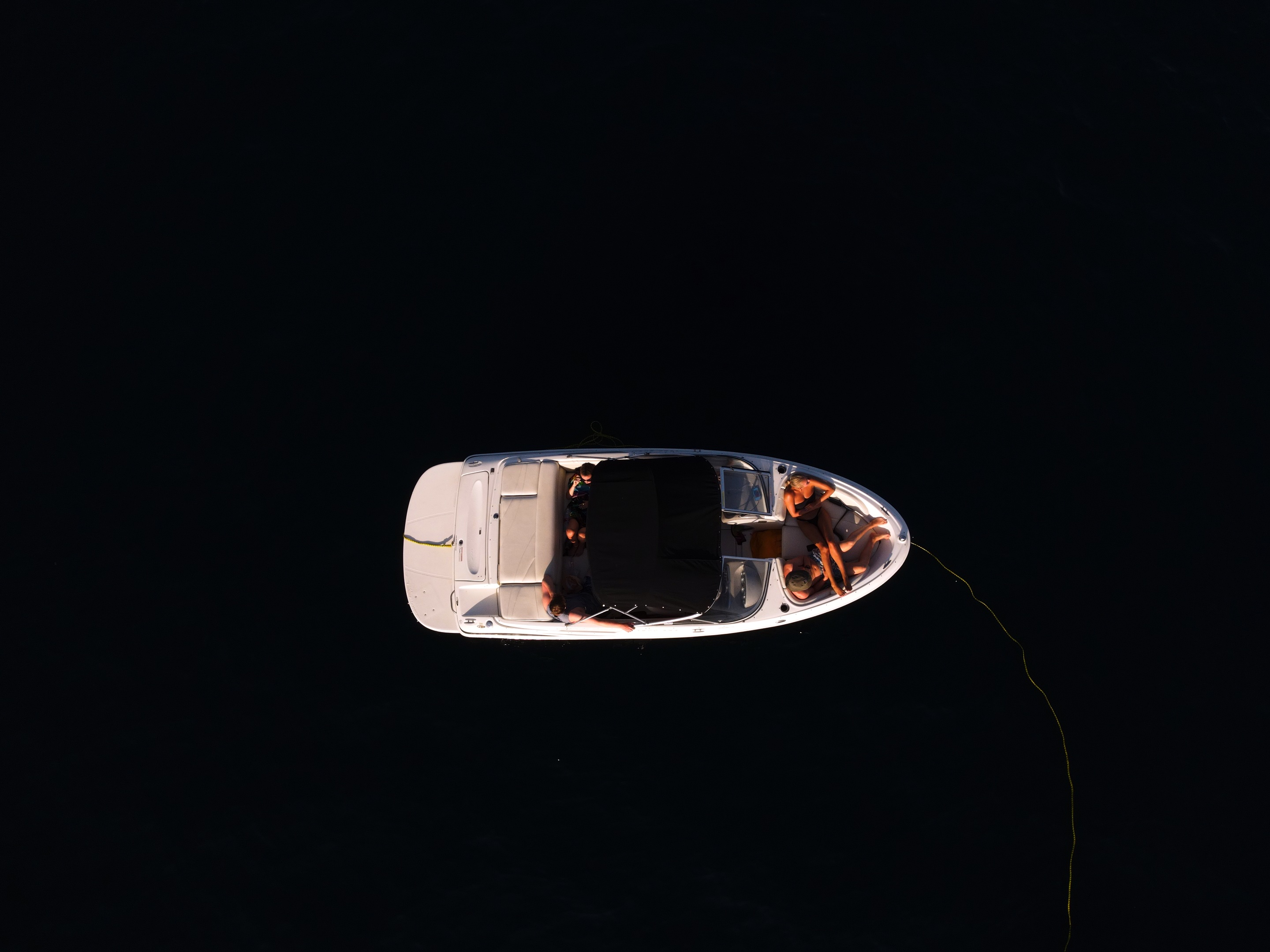
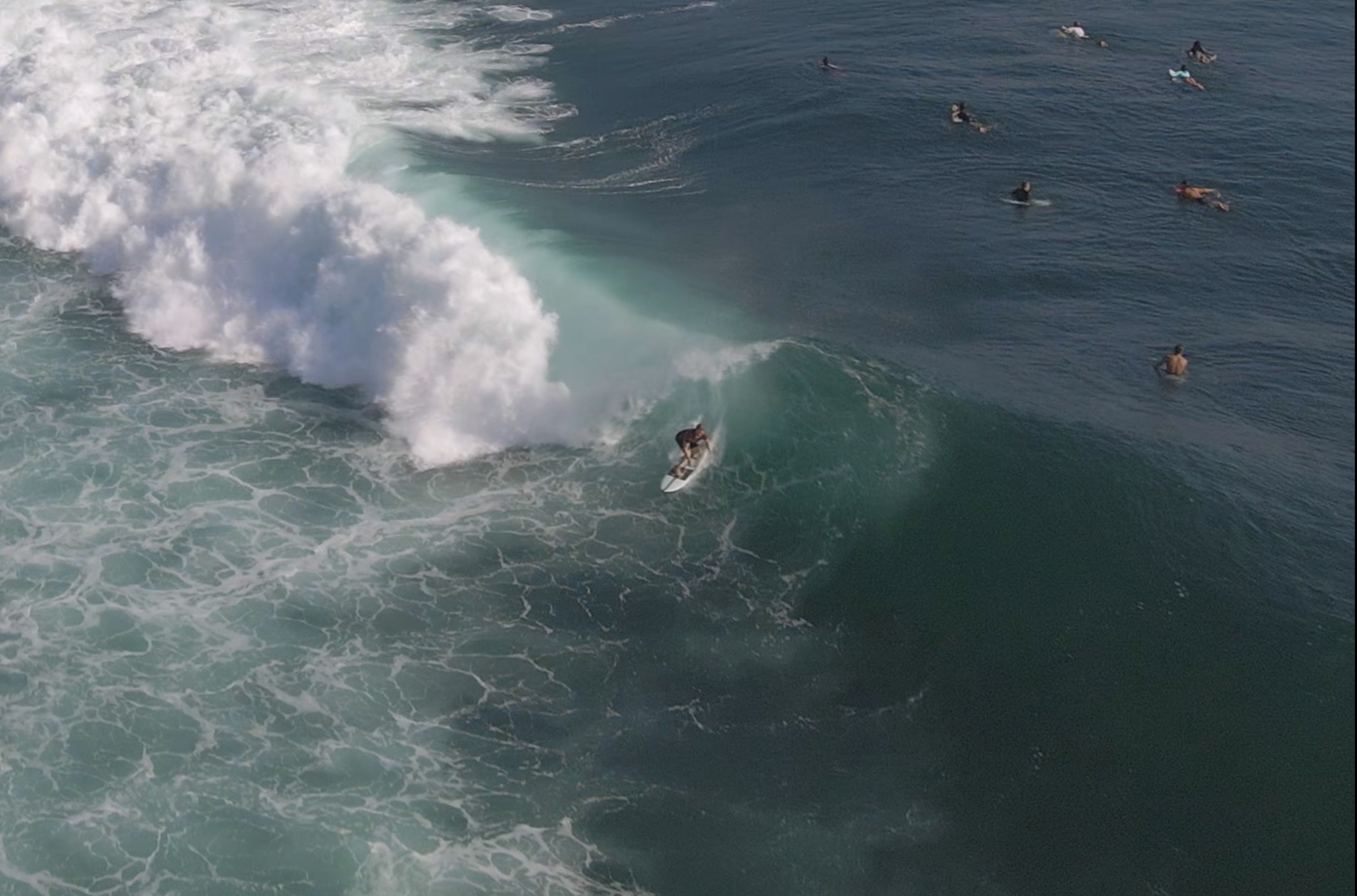
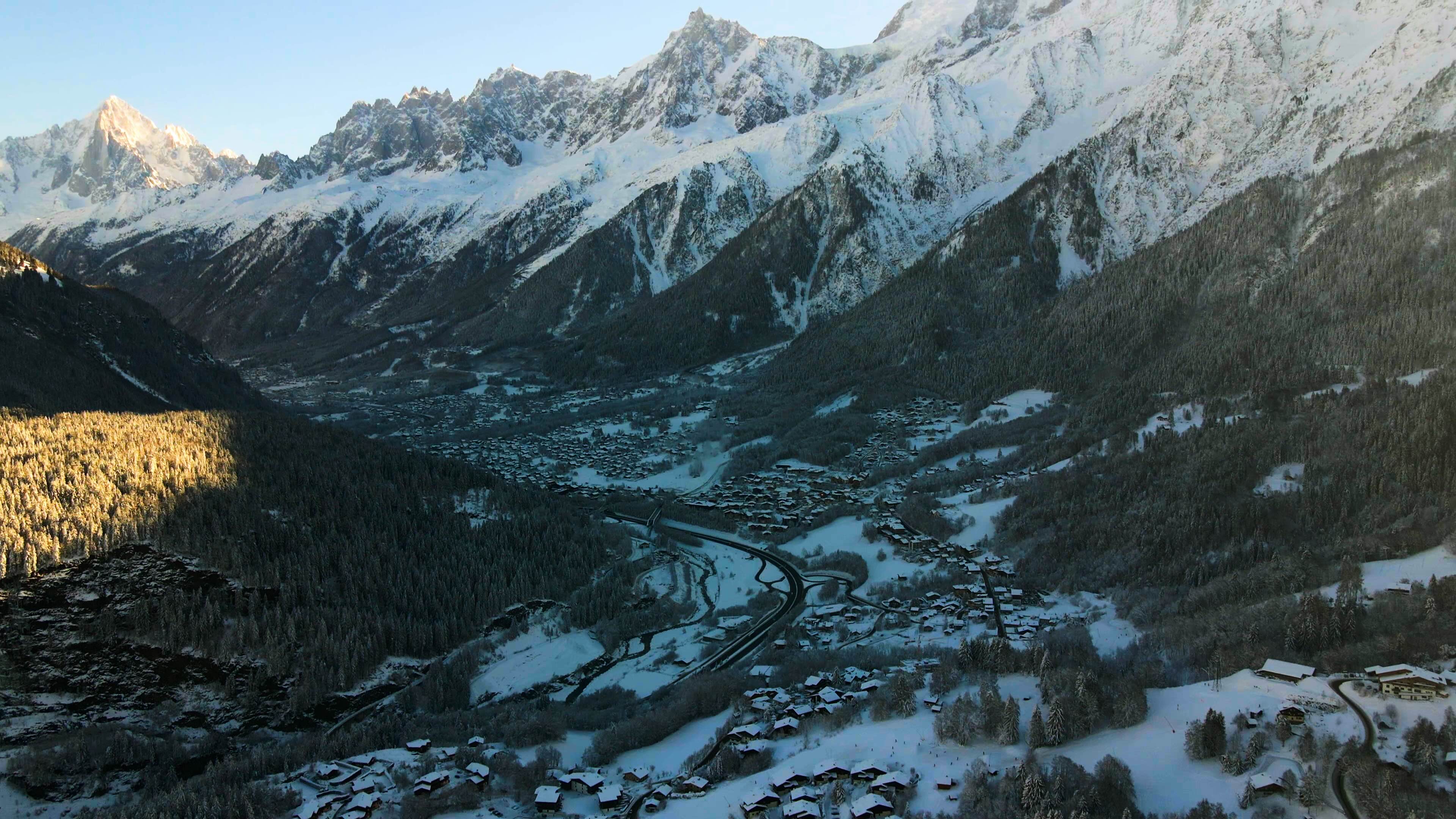
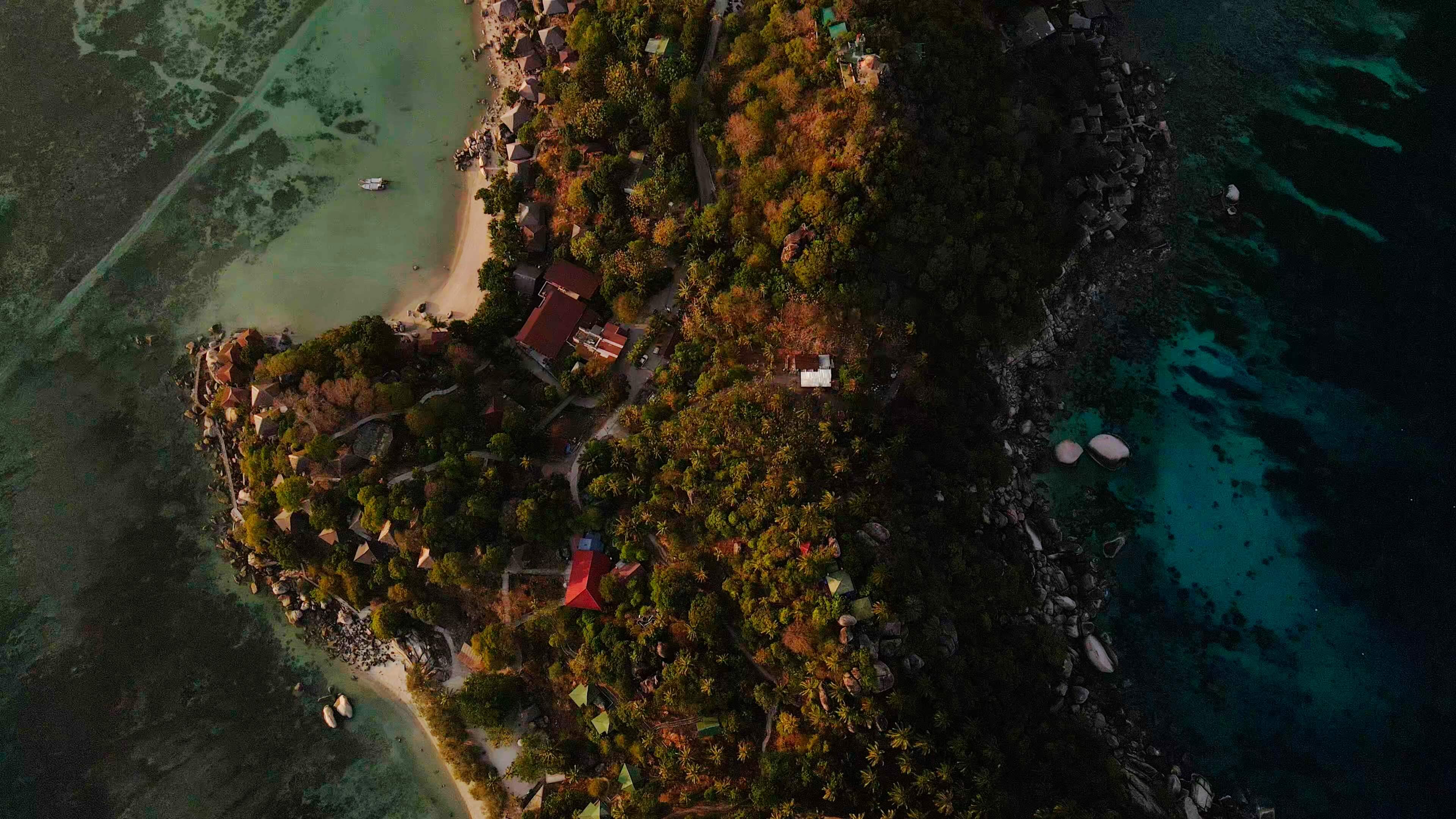
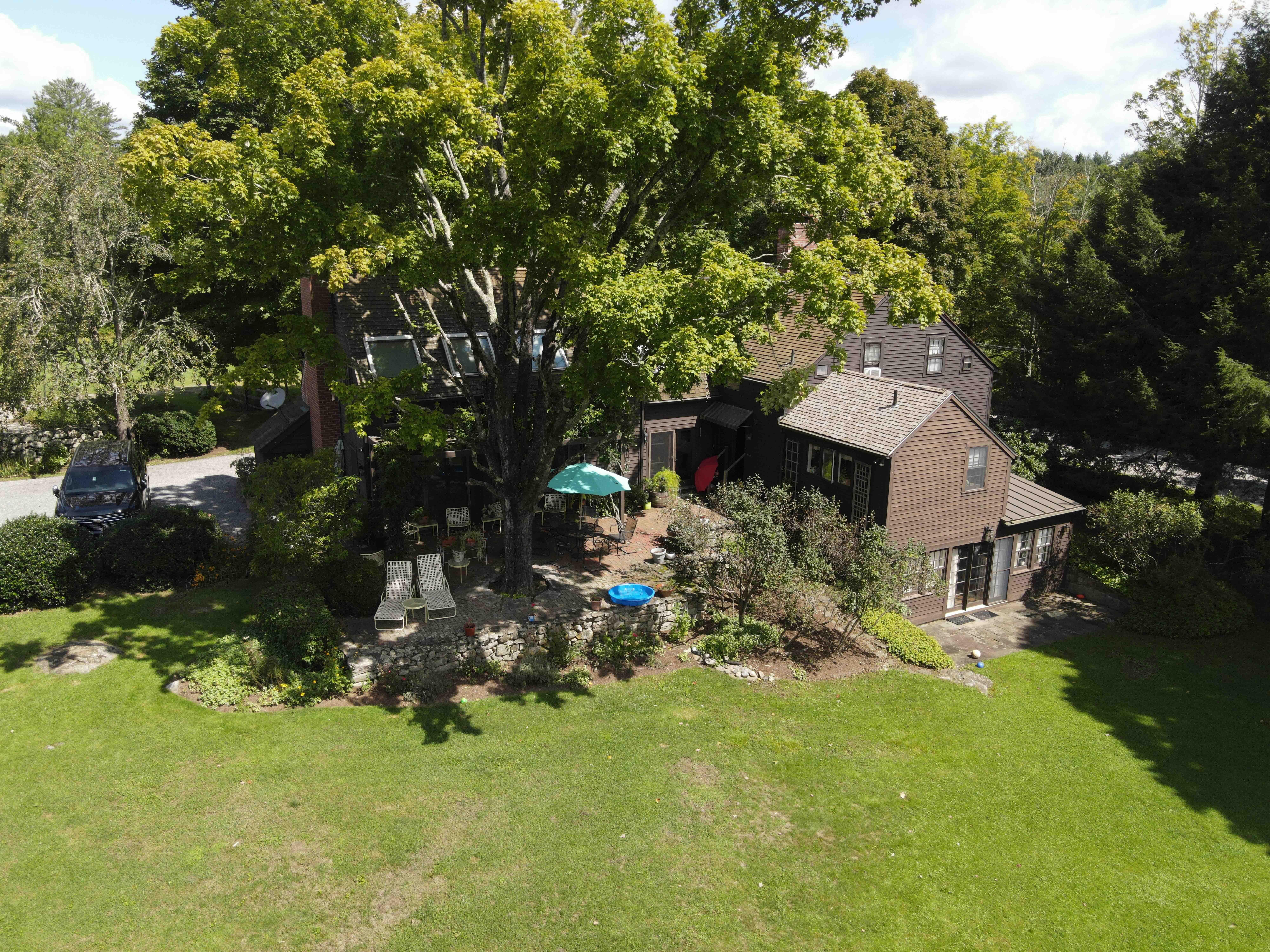
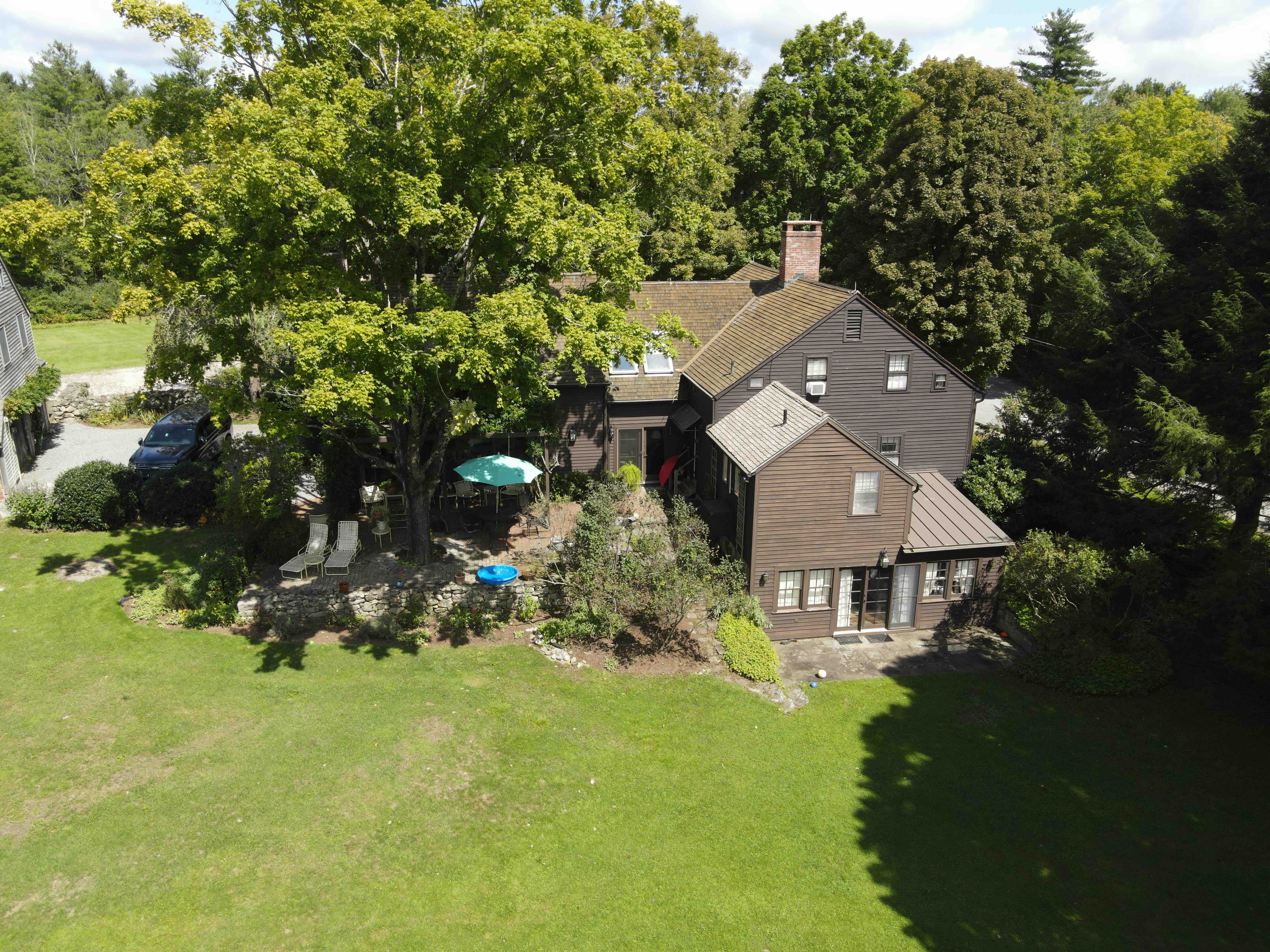
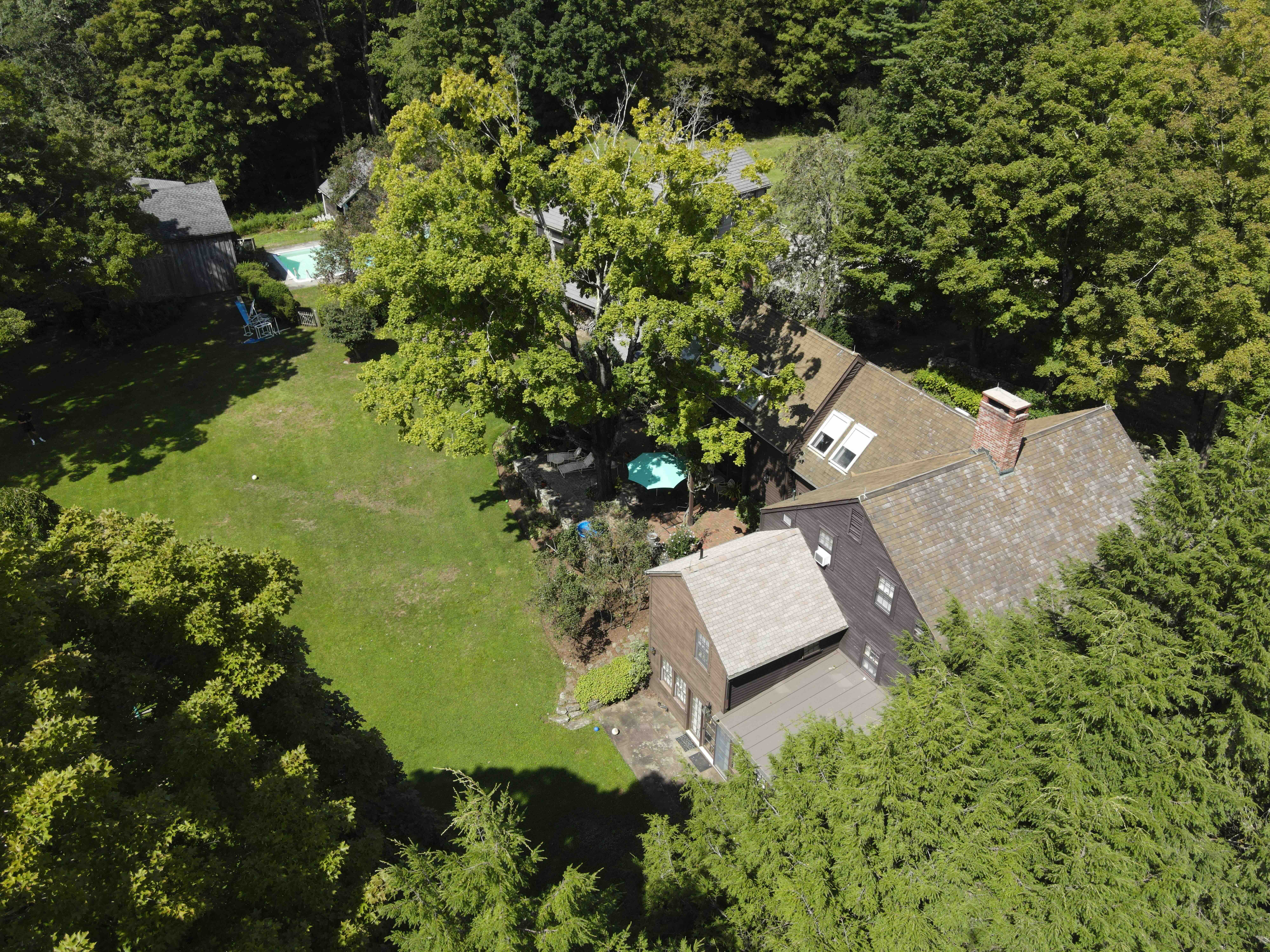
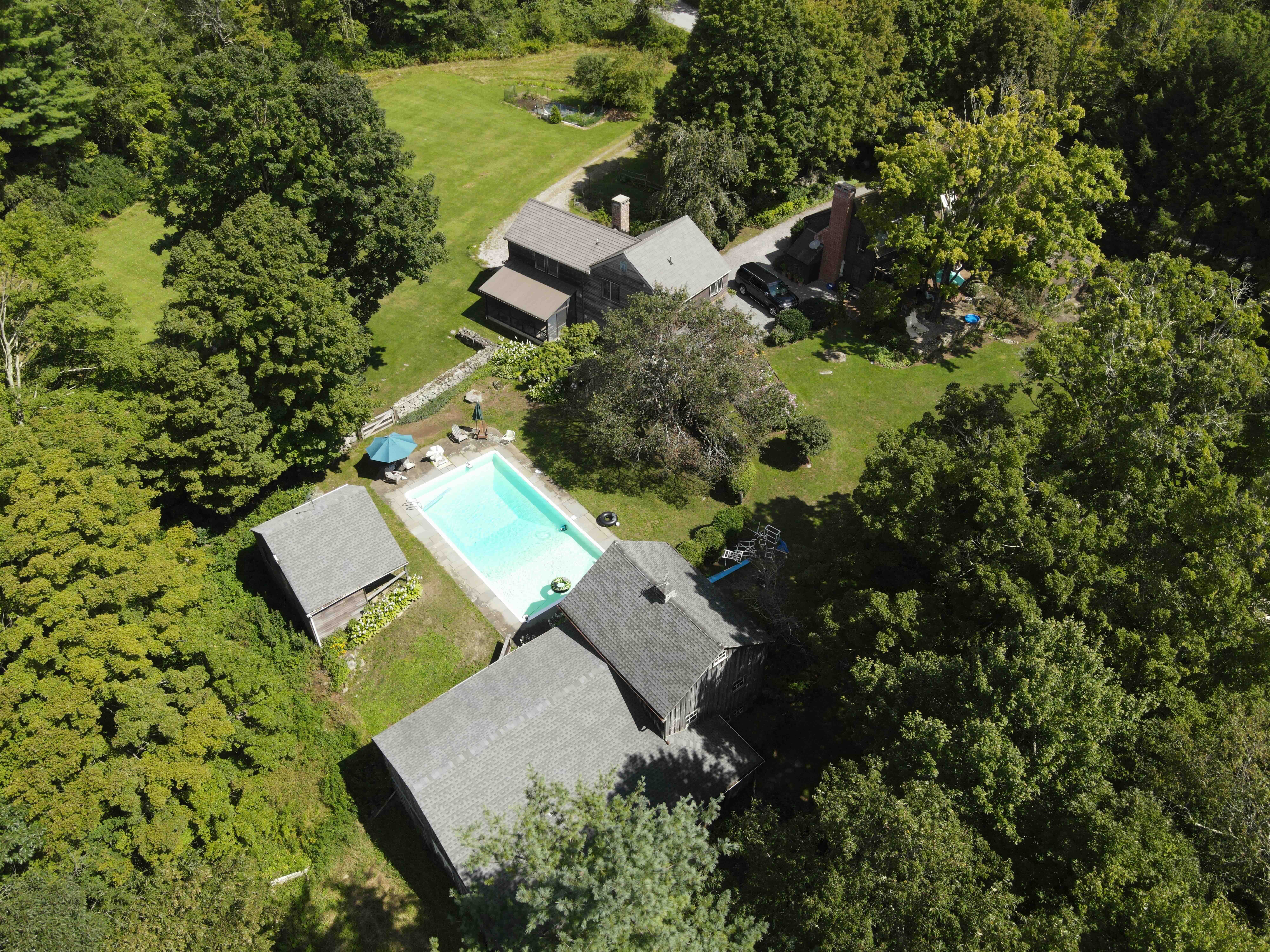
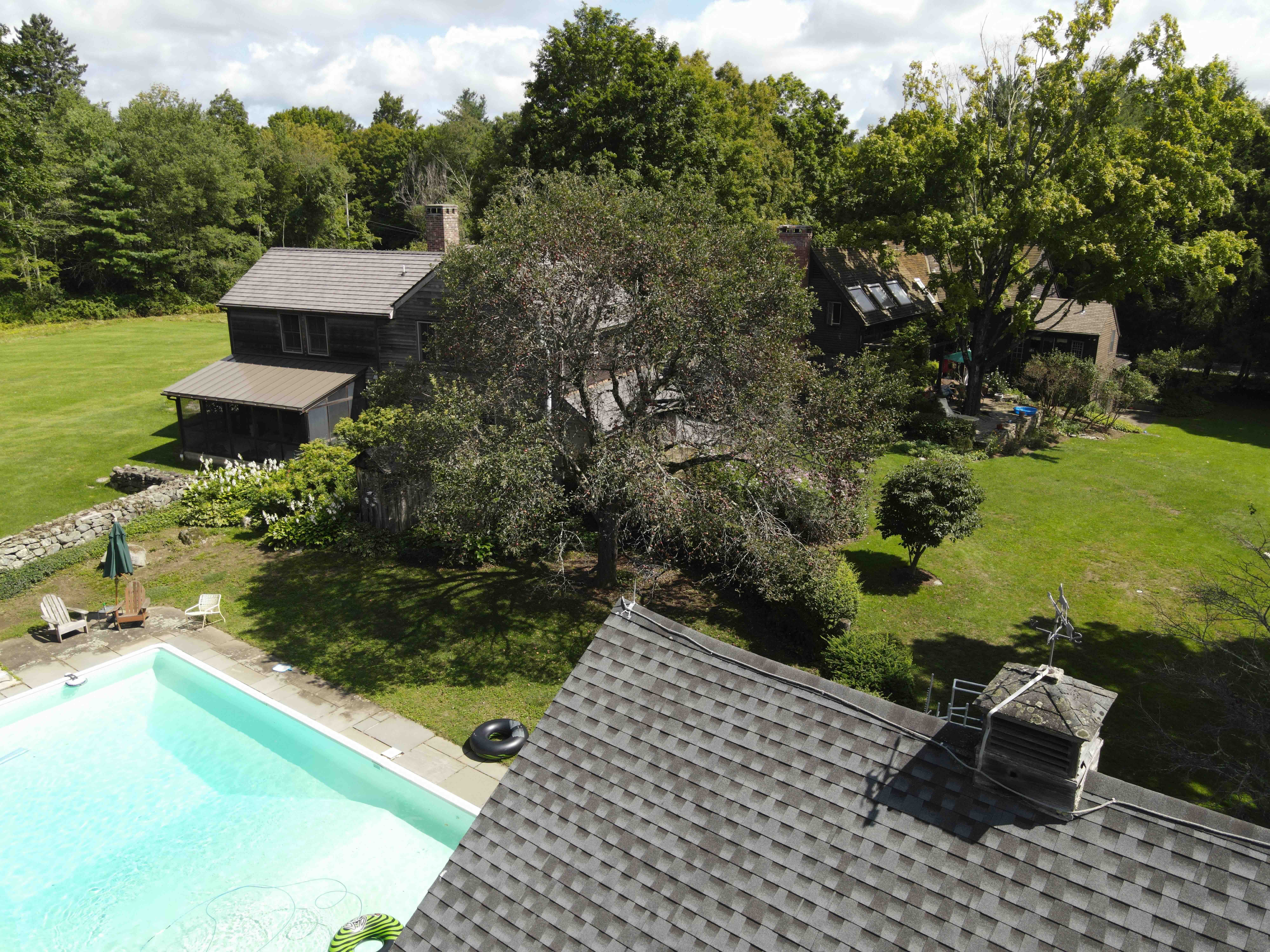
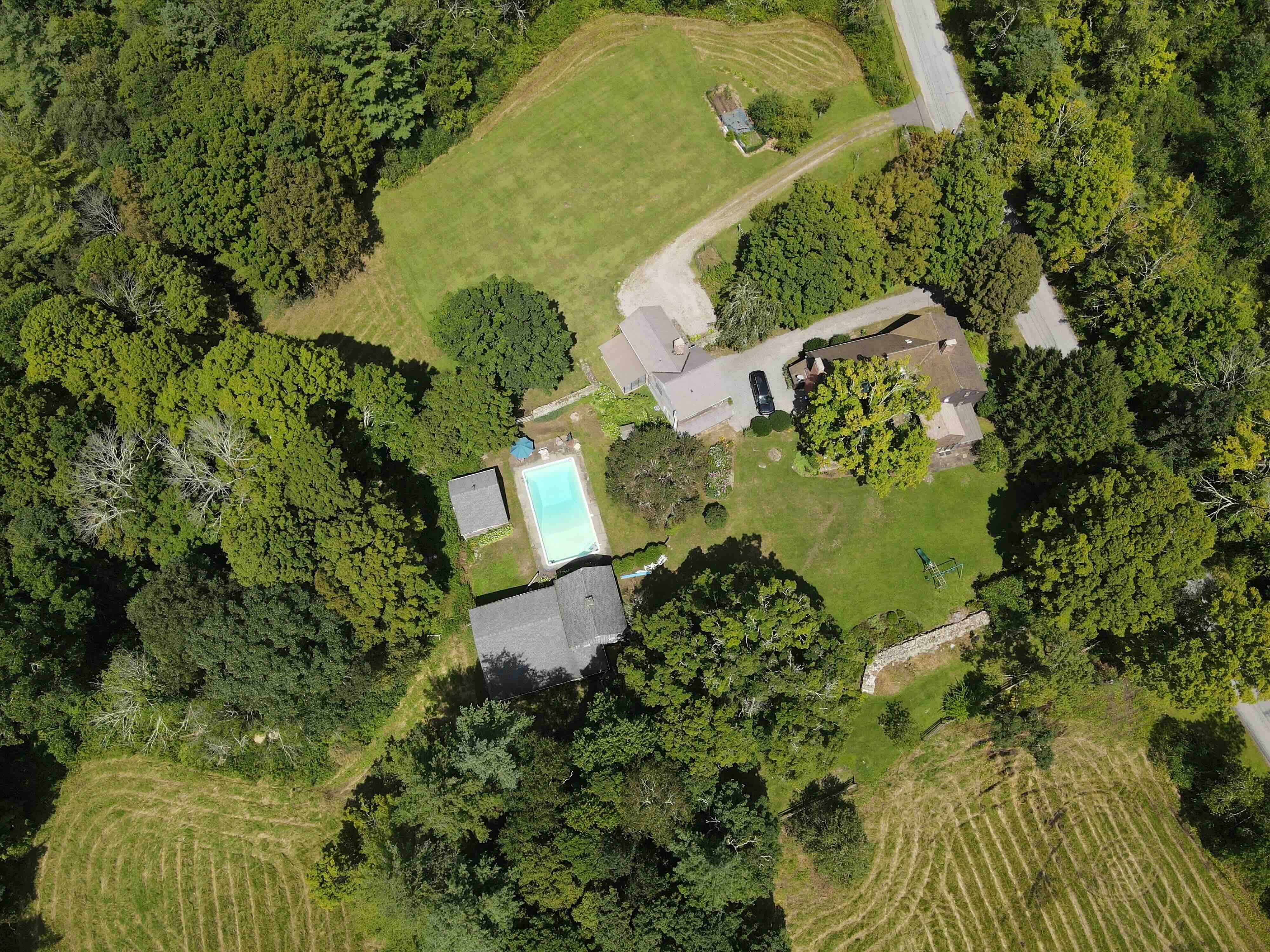
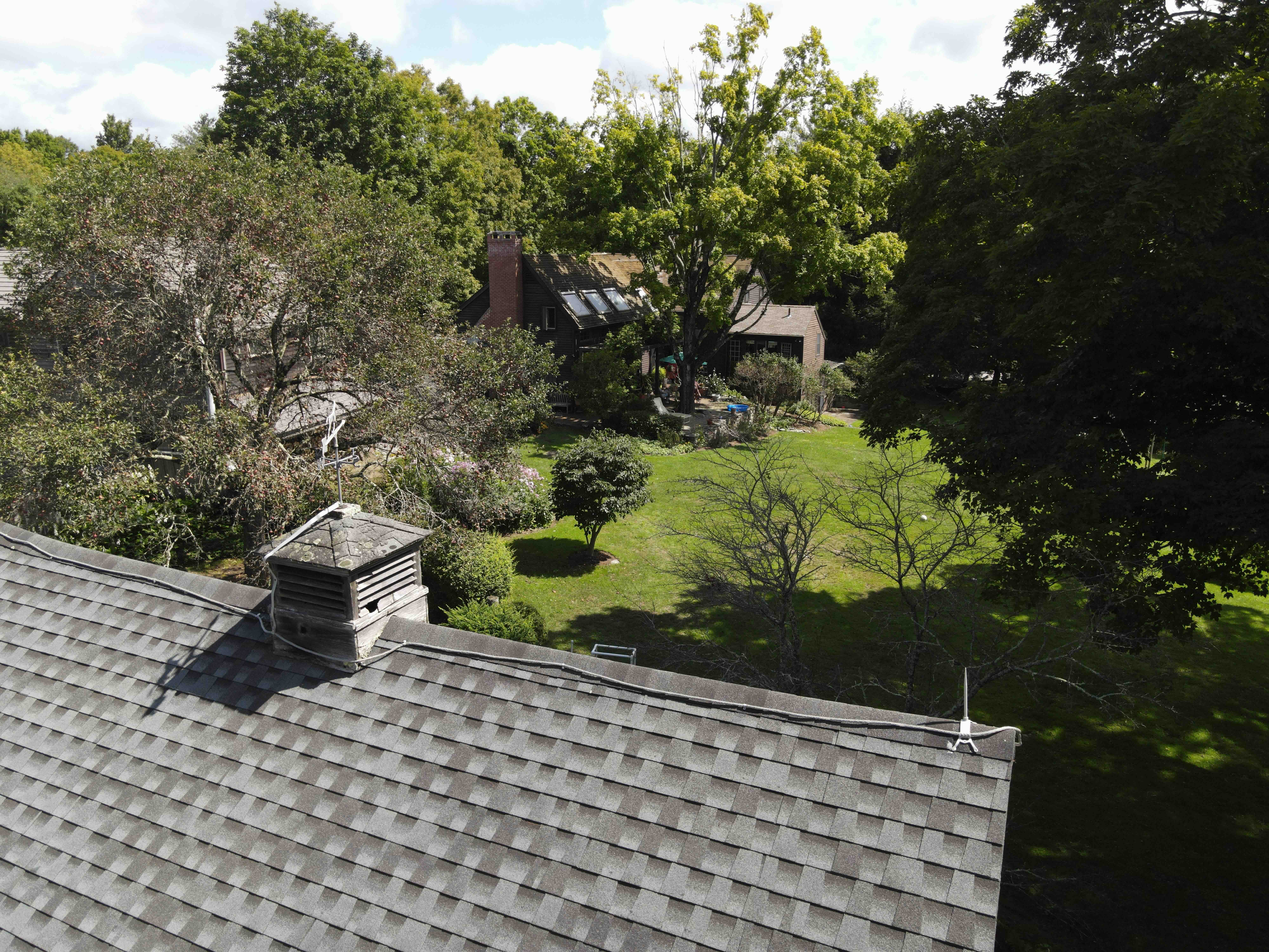
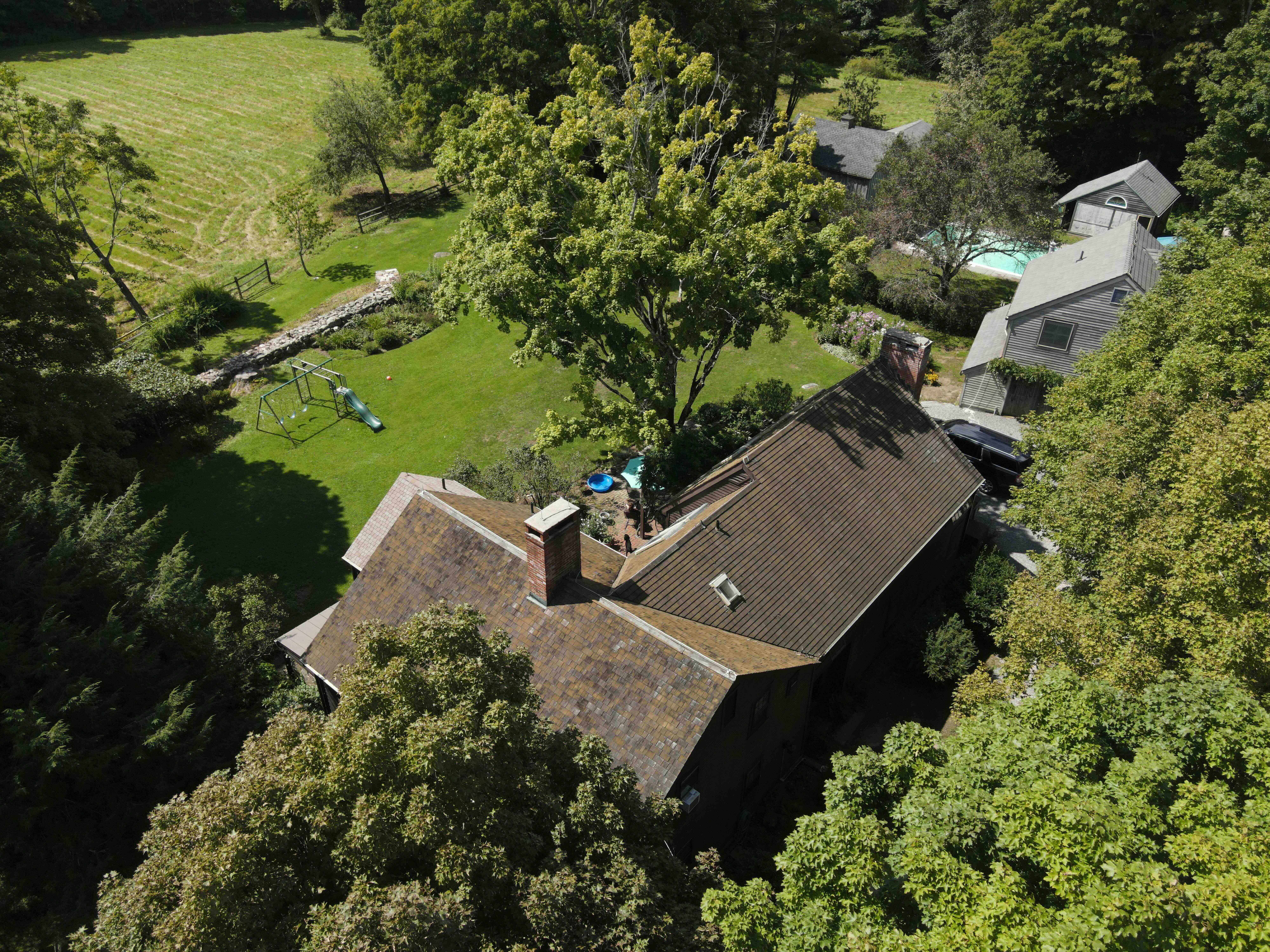
Aerial video production is the ultimate in captivating content. Filming from the air offers immense creative freedom and content can be used both internally and externally. Any angle is possible with the drone, from filming alongside a moving vehicle to panning out from a country estate. Aerial footage provides you with a crucial advantage in your field.

In the past, breathtaking aerial photography and videography have carried a formidable price tag. These days issues like air space authorisation, flight costs and safety risks associated with manned flights have been all but eliminated by the creative drone industry.

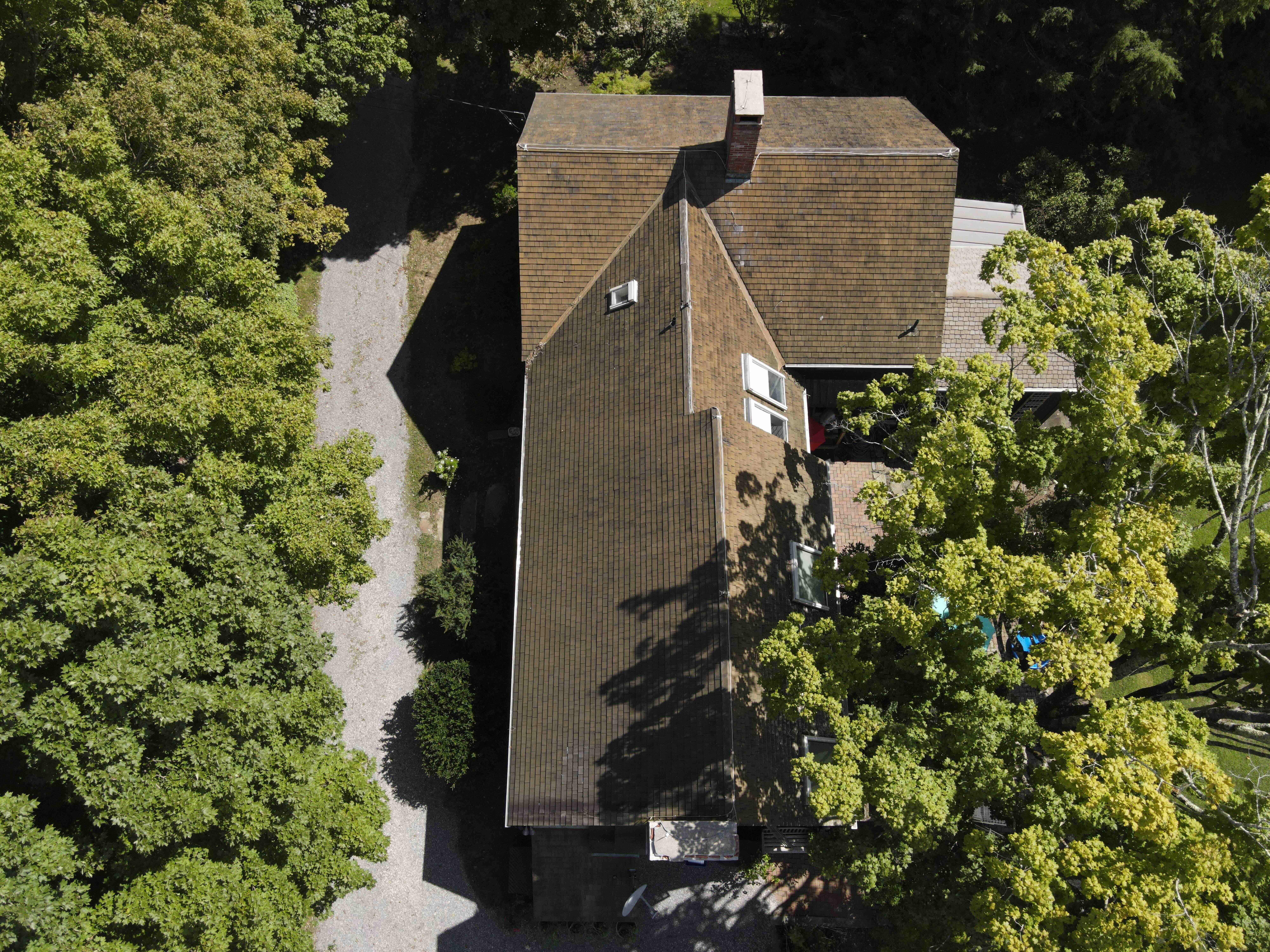
In addition, innovation in UAV technology over the last 10 years has redefined the possibilities for aerial content capture. A multitude of perspectives of your asset are now accessible with the assistance of our drone capabilities. Our drones can legally fly at altitudes of up to 120m (400ft) and capture any angle of your site or property, and from almost any distance. Whether you're looking to avoid weeks of scaffolding for that roof inspection, require sale-closing cinematic shots of a new build, or are looking for that surreal action shot, you need look no further than Aerial Studios.

Transform your visual content with the power of professional aerial videography. Contact us now to discover how we can give you a crucial advantage in your field.

Inspiring Buyers

Real Estate

Processes

How does it work?

According to MLS research, properties with aerial content sell approximately 68% faster than those without. Drone photography gives your real estate listings a competitive edge by showcasing stunning aerial views, highlighting property features, and capturing the surrounding neighborhood. This unique perspective enhances buyer engagement, increases the perceived value of your property, and helps you sell faster.

As well as offering a powerful sales tool for real estate professionals, aerial footage can be commissioned by individuals for private transactions. The imagery and video packages are available separately, and as a combined set.

Our team works closely with clients to understand the unique aspects of each property, ensuring we highlight its best features. Whether it's residential or commercial real estate, our aerial services give your property a new perspective, making it stand out in a competitive market.

Stage Our Process, Your Progress Typical Hours
Pre-Shoot After getting in touch, we will arange a date, time of day (lighting) and any further requests for the project.
Category One Cinematic video of your chosen building, facility or structure and its accompanying land. This is provided as a thoroughly edited video, as well as individual clips. 5 Hours
Category Two A package of high resolution images, capturing a combination of perspectives of your site. 3 Hours
Post-Shoot Once we are satisfied with the quality of our work, we will be in touch to organise the digital or physical collection of your product.

Oakfield Development

Drone service for real estate of large house

Informing Decisions With

Measured Inspections


Suffolk Water Tower

Drone mapping for car park

Drone mapping for car park

Processes

How does it work?

Our Measured Inspections service provides precise, actionable insights into your property. Whether you’re overseeing a construction project or ensuring your building is in top condition, our aerial inspections deliver accurate data tailored to your needs. From project-wide assessments to targeted inspections, we offer the flexibility to focus on what matters most to you.

Each stage is customized to your requirements, from 3D mapping to close-up inspections of critical features such as window seals, roof tiles, and elevated doors. This approach allows you to focus on the most important aspects of your property, saving time and resources.

Our inspections are designed to reduce risk by providing detailed, high-quality visuals that reveal potential issues before they become costly problems. With advanced technology, we’re able to capture data that is often inaccessible through traditional methods, ensuring thorough and accurate evaluations.

Stage Our Process, Your Progress Typical Hours
Pre-Shoot After getting in touch, we will arange a date, time of day (lighting) and any further requests for the project.
Category One An interactive 3D map, orthomosaic and DSM oversight of the desired building and surrounding plot, provided with quantifiable data. 6 Hours
Category Two Close proximity footage and imagery of the building's highlights, such as windows and doors. This provides an opportunity to inspect seals, frame material and paintwork. 3 Hours
Category Three External UHD (4K) content of any roof-style elements of the building, which can inform decisions on any remedial measures for roofing and guttering. 3 Hours
Post-Shoot Once we are satisfied with the quality of our work, we will be in touch to organise the digital or physical collection of your product.

High-Impact Action Shots

Object Tracking

Processes

How does it work?

Capturing dynamic, moving subjects adds a thrilling dimension to your content, whether for promotions, trailers, or personal projects. Standard shots often fall short in conveying the energy and impact of your sport or event. With our advanced object tracking technology, we bring your vision to life with stunning aerial footage that follows the action seamlessly, offering perspectives that static shots simply can’t match. Our team will closely work with you to ensure that each shot fulfils your vision for the project and that you are satisfied with the product.

Available Facilities:

  • 4K UHD 60fps Cinematic footage
  • 48MP Imagery
  • Object tracking to 35mph
  • 1.5X Zoom
  • 10km Flight distance
  • Ability to shoot in 24mph wind
  • Environment temperature -10°C to 40°C
  • Maximum accent and decent speeds 4m/s

Applications:

  • Team Sports
  • Water Sports (such as surfing, wakeboarding & boating)
  • Extreme Sports (such as skiing, climbing & cycling)
  • Vehicles
  • Safari

Motion Compilation

UK Drone tracking
UK Drone tracking
UK Drone tracking
Drone surfing photo
Drone service
Drone surfing photo

Our Aerial Collections

Gallery

Your rights to our work

About Our Galleries

In our galleries below, we offer a variety of usage rights for our work. We invite you to browse our galleries and contact us to discuss the use of any clips or images that interest you. The videography previews on this website have been reduced to 1080P for better usability and to protect the content. However, the original video files are often available in 4K or 8K resolution, and images in 48MP, which will be provided upon purchase.

Navigating the rights to use photography or videography content can be complex and confusing. Whether you aim to profit from the content or simply display it, various legal considerations must be taken into account. For more information, refer to the Copyright, Design and Patents Act 1988. Aerial Studios can assist you with a straightforward licencing agreement for the use of our library of content.